Editorial preview · tenant graph unavailable — showing curated fallbacks


Balestrand · Restaurant
Ciderhuset
Local cider, tastings, small dishes
© Holger Uwe Schmitt · CC BY-SA 4.0
- Place
- Balestrand
- Coordinates
- 61.207° N · 6.529° E
Honest facts about this fjordcanonical · verbatim
- Sognefjord is Norway's longest (205 km) and deepest (1 308 m) fjord — the world's second-longest (after Scoresby Sund, Greenland ~350 km). Not the world's deepest or longest. 'King of the Fjords' is the accepted epithet.
- UNESCO in this region = Nærøyfjord (West Norwegian Fjords, 2005) + Urnes stave church (1979). Aurlandsfjord is NOT UNESCO-inscribed — it sits inside the zero-emission regulatory zone only.
- Zero-emission World Heritage fjords: passenger ships <10 000 GT from 1 Jan 2026; ≥10 000 GT from 2032. Not a blanket ban.
- Nigardsbreen on-ice access is guided-only.
- Undredal is Norway's smallest stave church still in use (1147). The region's two stone churches are Hove (Vik, ~1170) and Dale (Luster, ~1250).
Locate Ciderhuset
4 points on map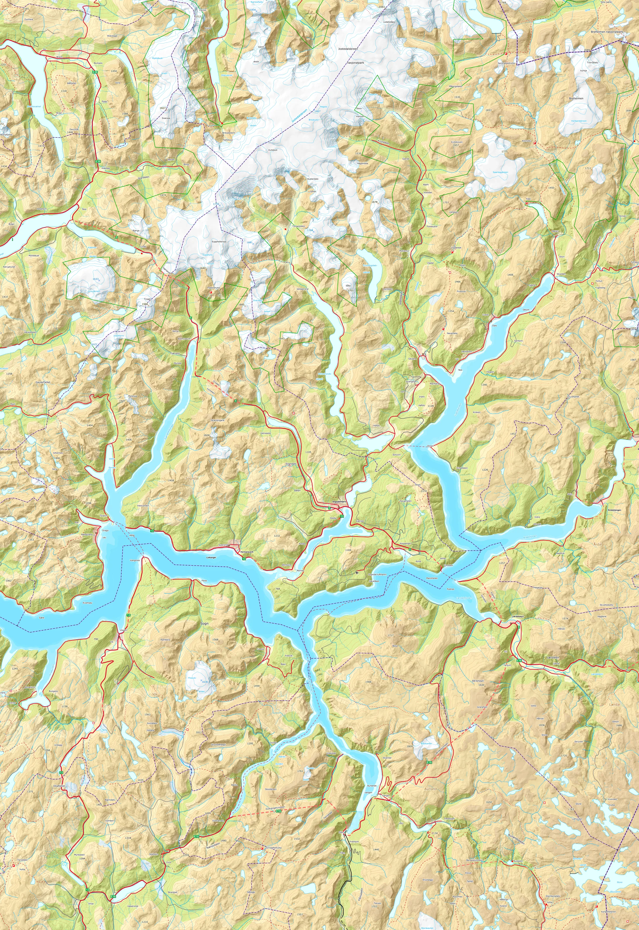 © Kartverket
Right now · balestrand— Oslo
Air
—
loading…
Wind
—
loading…
Daylight
—
—
Ferries
On time
NOR-LINES · Fjord1
Ask
the Ciderhuset concierge
You're chatting with an AI assistant — not a person. Answers are AI-generated and verified against the Place Graph. Please don't enter personal information.
Every answer here comes with a proof capsule.
Scoped to Ciderhuset. Try one of these: